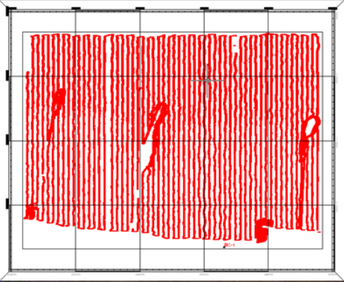
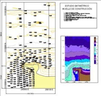
We carry out bathymetric studies of lake or marine bottoms in 3D, with state-of-the-art and precision equipment, generating plans and characterization of three-dimensional bottoms, very useful in the planning and calculations of dredging, detection and planting of pipes, layout and georeferencing of points u objects on the seabed, monitoring and supervision of works on the ocean floor, diving, taking photos or videos linked to the plans.